
Emissions data is fragmented
Researchers often rely on disparate datasets with inconsistent spatial coverage, temporal resolution, and measurement methodologies.
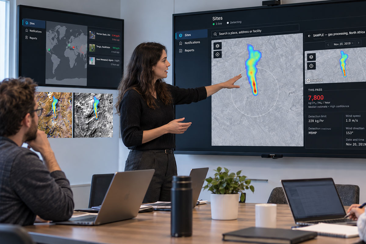
EMSat Monitor provides researchers with high-quality, quantified methane emission data from satellite observations to support climate modeling, attribution studies, and emissions inventory validation.
Start Monitoring Your AssetsResearchers often rely on disparate datasets with inconsistent spatial coverage, temporal resolution, and measurement methodologies.
Field measurements are expensive and geographically limited. Satellite observations can fill gaps but require careful calibration and validation.
Comparing bottom-up emissions inventories against independent observations requires consistent, quantified data at scale.

Access kg/hr measurements for individual plume detections, enabling direct comparison with inventory estimates and model outputs.

Review past detections and imagery to analyze trends, seasonal patterns, and the impact of operational changes over time.

Monitor emissions across diverse geographies and sectors from a single platform, supporting regional and global studies.
Start monitoring your research assets with satellite precision. Free for 2 sites.