

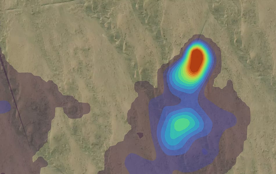
In November’s Journal of Petroleum Technology, we wrote a guest editorial about one shift: methane emissions data is going public. Here is the short version, our take, and what to do about it.
The short version
Methane isn’t a new issue, and satellites have tracked it for a decade. What’s new is who collects the data and why. Philanthropic coalitions, a UN observatory and university teams now publish detections for free, and government satellite imagery with global coverage costs nothing to download. Regulators are paying attention: New Mexico is weighing rules that would let third parties report emissions, and European gas buyers want proof of low verified emissions.
As we put it in JPT, methane emissions are now “like having spinach in your teeth at a cocktail party: It’s embarrassing, and everybody else in the room probably knows about it before you figure it out.”
Our take
This data will travel well beyond the people who have always paid for monitoring. Regulators and investors will use it as a starting point, and they won’t wait for your next report. The risk isn’t that someone else spots a leak. It’s having no answer when they ask about it.
The best answer is a record of your own: every detection across your portfolio, with what you checked and what you fixed.
What to do now
Start with satellites, and be clear about what they can do. Satellite methane leak detection works best on large leaks in stable conditions, and orbits set how often a site is seen. That makes it the top of the funnel: one view of your whole portfolio that tells you where to send drones, aircraft and ground crews first.
That’s what EMSat Monitor is built for. Pick any site and it reviews the history from past satellite passes, then keeps watching and alerts you to new detections. It’s priced for operators who have never been able to justify a flight or a dedicated satellite collection.
Create a free account and look at your own sites, or get in touch and we’ll walk through it with you.